

National Sentinel-2 Mosaic
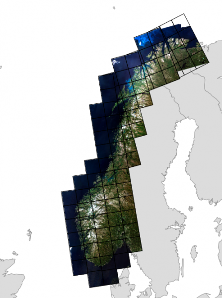 The Norwegian Mapping Authority (Kartverket) has produced a cloud free national mosaic from Copernicus Sentinel-2 Level-2A data which has free access and is openly available. The dataset is found here. The mosaic is composed of Sentinel-2 data from June 30 to July 31, 2018. The mosaic consists of the frequency bands B2 to B8, B8A, B11, and B12. The data type is unsigned integer 16. Ancillary vector data is included yielding the dates for the individual tiles.
- Read more about National Sentinel-2 Mosaic
- Log in or register to post comments
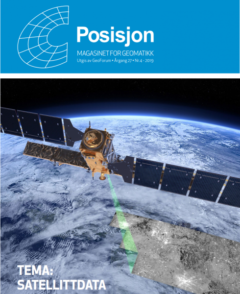 A new issue on the magazine "Posisjon" - a magazine edited by